
Skip to content Skip to sidebar Skip to footer

The Secret History of Raleigh’s Capital Area Greenway

By Eric Medlin

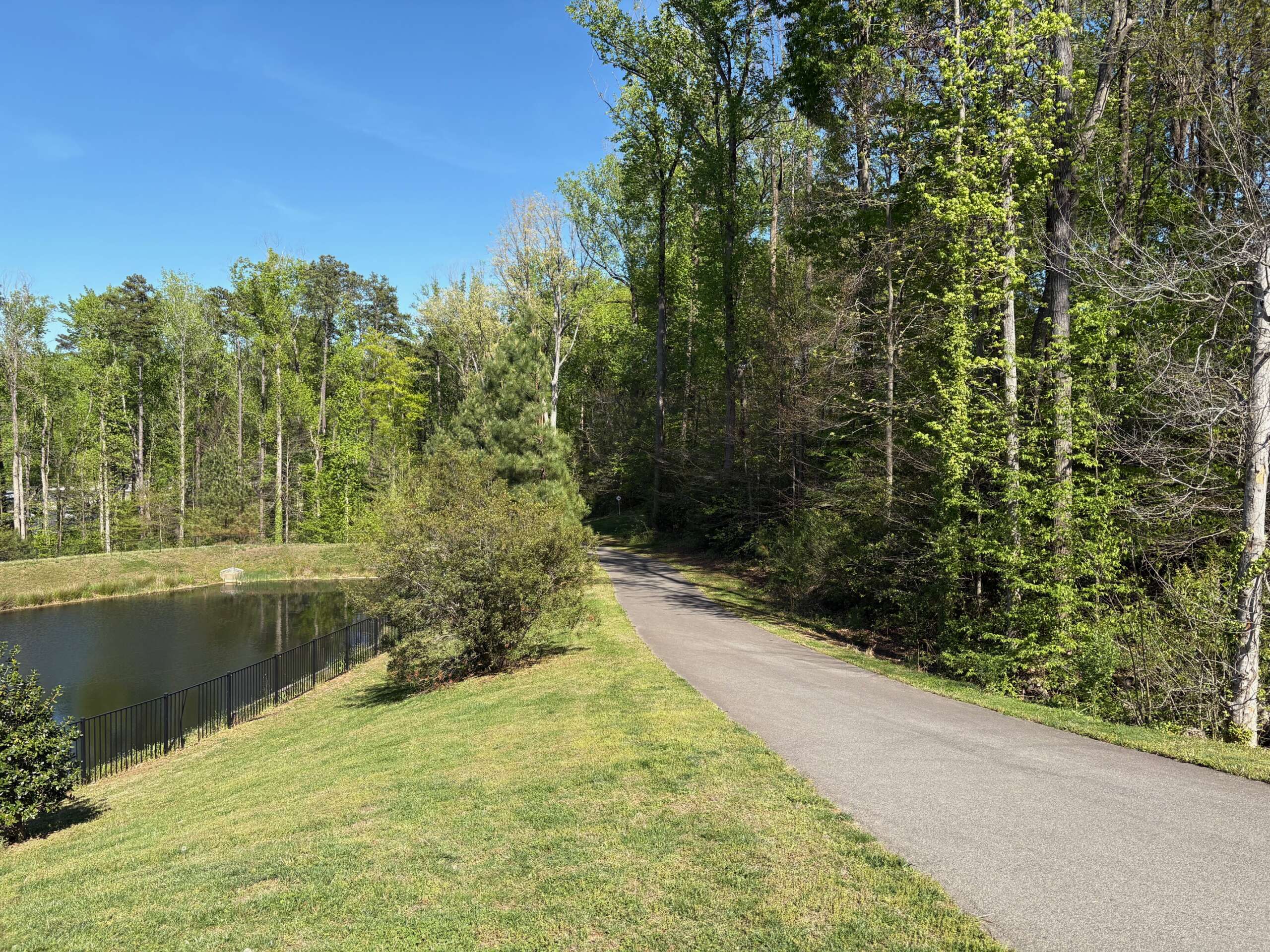
Raleigh, the City of Oaks, is known as much for its green spaces as for its apartment buildings and office parks. But 50 years ago, the idea of greenways was a new one in Raleigh. A small group of visionaries had just hit on a new formula for turning the growing concrete sprawl of suburban Raleigh into what they called a “city within a park.” Their task seemed overwhelming at first. But with time and luck, the Capital Area Greenway system became one of the nation’s most remarkable urban planning success stories.

In 1970, Raleigh was a mid-sized capital just beginning to find its footing, ranking as the 131st-largest urban area in the country—a far cry from the bustling tech and cultural hub it is today. It was just barely the third-largest in North Carolina, with city limits that stretched from North Ridge south to Tryon Road and east and west to near present-day I-440. But already, local leaders worried about the social and environmental impact of suburban development. They wanted more green space to stave off pollution and promote healthy exercise for young professionals and families.
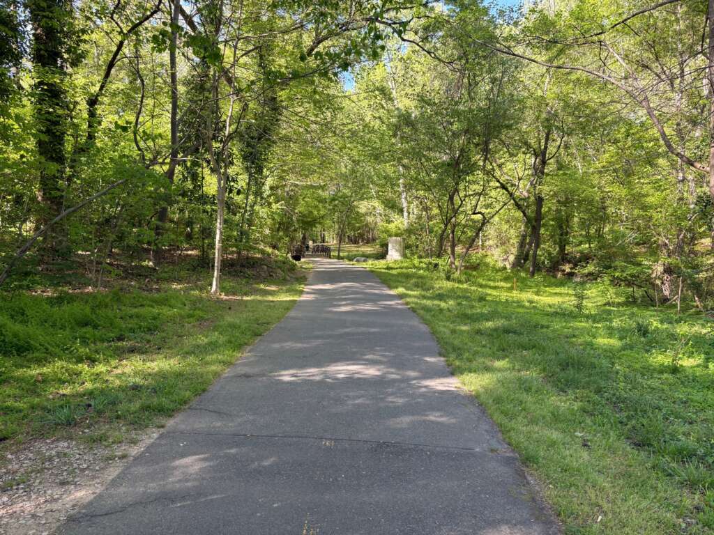
The Ironwood Trail. Photo by Eric Medlin.

In order to build new parks, city leaders needed a plan and easy access to land. They received the plan from William L. Flournoy, Jr, a landscape architecture student completing a master’s degree at NC State University. Flournoy’s solution was to take advantage of new flood insurance laws that made flood-prone land around waterways such as Crabtree Creek cheap and accessible. The new plan, as described in a 1976 proposal, was to create a “linear park network, left primarily in its natural state” in order to “produce a more livable environment for Raleigh’s urban population.”

Did You Know?

The “linear park” concept was actually a brilliant economic move. By utilizing flood-prone land that was essentially “unbuildable” for developers, the city was able to acquire vast stretches of beautiful real estate at a fraction of the cost.
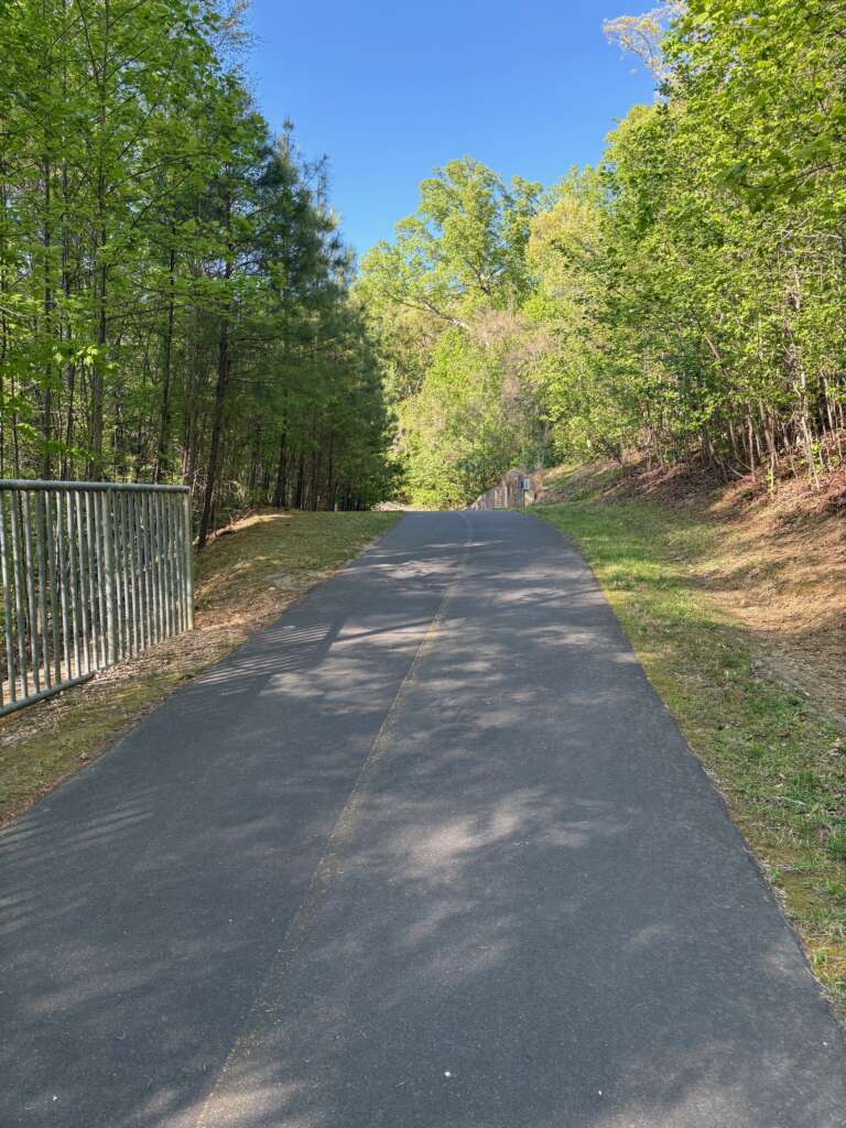
The House Creek Greenway. Photo by Eric Medlin.

The 1970s saw an explosive growth in greenway trails that continued into the next few decades. Many of the most well-traveled trails adjoined the lakes built for flood control. Most notable among these was Shelley Lake, described in a 1978 newspaper article as the “hottest number in town” and an early standout of the greenway system. Shelley Lake became the center of a nationally known greenway system of over 20 miles of trails by 1990. Other cities, like Boston and Buffalo, had had greenways since the 19th century, but few cities implemented such a large, planned system of far-flung trails as quickly or in as orderly a manner as Raleigh.

Today, the Capital Area Greenway System, as it is known, stretches over 100 miles throughout all corners and regions of Raleigh. It goes through brand-new neighborhoods, wildlife areas, modernist office parks, and historic tracts. Greenways stretch alongside Dix Park and the ruins of a 19th-century mill off the Neuse River Trail. The greenways allow for bicycle travel as well as day walkers, long-distance hikers, and strollers of every size and model. Raleigh may still be full of sprawl and cars, but its magnificent greenway system shows that there is still room for green space and quiet walks in one of the nation’s fastest-growing cities.
Be sure to subscribe to our weekly newsletter!

© 2008-2025 Midtown magazine, LLC. All rights reserved. Copyright applies to all pages on this website. | Privacy Policy

By Eric Medlin

Raleigh, the City of Oaks, is known as much for its green spaces as for its apartment buildings and office parks. But 50 years ago, the idea of greenways was a new one in Raleigh. A small group of visionaries had just hit on a new formula for turning the growing concrete sprawl of suburban Raleigh into what they called a “city within a park.” Their task seemed overwhelming at first. But with time and luck, the Capital Area Greenway system became one of the nation’s most remarkable urban planning success stories.

In 1970, Raleigh was a mid-sized capital just beginning to find its footing, ranking as the 131st-largest urban area in the country—a far cry from the bustling tech and cultural hub it is today. It was just barely the third-largest in North Carolina, with city limits that stretched from North Ridge south to Tryon Road and east and west to near present-day I-440. But already, local leaders worried about the social and environmental impact of suburban development. They wanted more green space to stave off pollution and promote healthy exercise for young professionals and families.

The Ironwood Trail. Photo by Eric Medlin.

In order to build new parks, city leaders needed a plan and easy access to land. They received the plan from William L. Flournoy, Jr, a landscape architecture student completing a master’s degree at NC State University. Flournoy’s solution was to take advantage of new flood insurance laws that made flood-prone land around waterways such as Crabtree Creek cheap and accessible. The new plan, as described in a 1976 proposal, was to create a “linear park network, left primarily in its natural state” in order to “produce a more livable environment for Raleigh’s urban population.”

Did You Know?

The “linear park” concept was actually a brilliant economic move. By utilizing flood-prone land that was essentially “unbuildable” for developers, the city was able to acquire vast stretches of beautiful real estate at a fraction of the cost.

The House Creek Greenway. Photo by Eric Medlin.

The 1970s saw an explosive growth in greenway trails that continued into the next few decades. Many of the most well-traveled trails adjoined the lakes built for flood control. Most notable among these was Shelley Lake, described in a 1978 newspaper article as the “hottest number in town” and an early standout of the greenway system. Shelley Lake became the center of a nationally known greenway system of over 20 miles of trails by 1990. Other cities, like Boston and Buffalo, had had greenways since the 19th century, but few cities implemented such a large, planned system of far-flung trails as quickly or in as orderly a manner as Raleigh.

Today, the Capital Area Greenway System, as it is known, stretches over 100 miles throughout all corners and regions of Raleigh. It goes through brand-new neighborhoods, wildlife areas, modernist office parks, and historic tracts. Greenways stretch alongside Dix Park and the ruins of a 19th-century mill off the Neuse River Trail. The greenways allow for bicycle travel as well as day walkers, long-distance hikers, and strollers of every size and model. Raleigh may still be full of sprawl and cars, but its magnificent greenway system shows that there is still room for green space and quiet walks in one of the nation’s fastest-growing cities.
Be sure to subscribe to our weekly newsletter!

This Pop-up Is Included in the Theme
Best Choice for Creatives
Purchase Now